Protected bays, a mangrove maze, and clear seagrass flats make the Coastal Bend a paddler's dream — and it's home to three official Texas Paddling Trails, including the newest, the Ron R. Smith Memorial Trail on Oso Bay, designated in 2024. Whether you want to fish, bird, or just glide somewhere quiet, here's where to put in.
Lighthouse Lakes — the first Texas Paddling Trail
Near Aransas Pass and Port Aransas, Lighthouse Lakes was the very first Texas Paddling Trail, mapped back in 1999. Four interconnected loops — Cutters, South Bay, Redfish, and Electric Lake, roughly one to seven miles each — wind through a black-mangrove estuary near the historic 1857 Lydia Ann Lighthouse. It's legendary for sight-casting to tailing redfish and for the birdlife.
Don't get lost in the mangroves
The Lighthouse Lakes maze is genuinely easy to get turned around in. Texas Parks & Wildlife recommends carrying the trail photomap and a handheld GPS. Because of the strong prevailing southeast wind, canoes aren't recommended — bring a kayak — and always yield to boat traffic in the channels.
The Mustang Island Paddling Trail
This TPWD-designated trail runs about 20 miles in three segments — the North Trail, the Shamrock Loop, and the Ashum Trail — all along the calm back-bay (western) shoreline of Mustang Island on Corpus Christi Bay. Expect shallow water, seagrass, and the usual cast of seatrout, redfish, black drum, and flounder. Markers are line-of-sight signs tied to published GPS points, so you navigate post to post or by GPS unit.
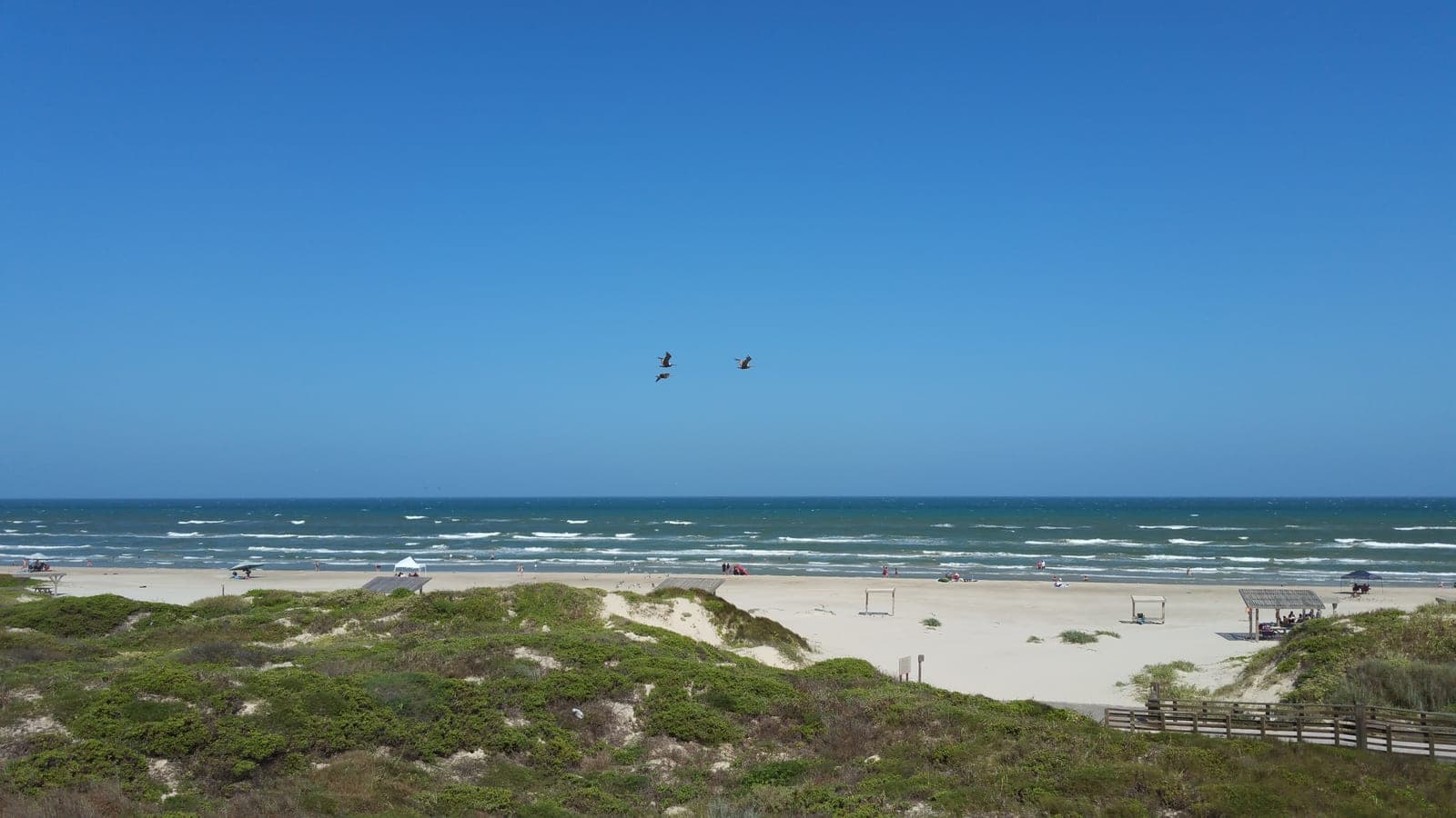
Bird Island Basin and the easy launches
Inside the National Seashore, Bird Island Basin on the Laguna Madre is the easiest launch around — flatwater averaging only about four and a half feet deep, friendly to first-timers (and one of the country's premier windsurfing spots, too). Closer to town, the JFK Causeway and Packery Channel ramps drop you onto the Upper Laguna's grass flats.
Why the flats are so good
The Laguna Madre is one of only a handful of hypersaline lagoons on Earth, and it holds the great majority of all Texas seagrass. That clear, shallow water over grass is exactly what makes sight-casting to a tailing redfish from a silent kayak so special. Protect it: use a push pole or trolling motor in the shallows, and never rake the bottom or motor through the grass.
Paddle smart
- Wear a PFD and carry plenty of water, sunscreen, and bug spray
- Tell someone your plan before you launch
- Go early — the wind is usually calmest at first light
- Watch the wind and tide; an offshore wind on an outgoing tide can push you a long way out
- Carry a map or GPS on the mangrove trails, where it's easy to lose your bearings
Trail maps & launch-day checks
TPWD publishes real maps and GPS points for both trails — print or download them, because the mangroves don't do landmarks.
- Mustang Island Paddling Trail — TPWDOfficial maps and GPS coordinates for the North Trail (8.5 mi), Shamrock Loop (5.2 mi), and Ashum Trail (6.8 mi).tpwd.texas.gov
- All Texas coastal paddling trailsThe full TPWD coastal trail list, including the Lighthouse Lakes loops through the mangroves.tpwd.texas.gov
- Live tides — Port Aransas stationReal-time water levels for the bay side — an outgoing tide plus an offshore wind is the combination to respect.tidesandcurrents.noaa.gov
There's nothing like sliding a kayak onto a glassy flat at sunrise, spotting a copper tail waving in the grass, and making the cast before the wind even wakes up.
Found this useful? There's plenty more where it came from.
Browse all guides